
AvoMap Help Center
3 min read
Layers
In short
- The base map sets the whole look: Satellite, Classic, Light, Dark, Outdoors or Snow.
- Lighting follows a time of day, so the same route can play at dawn or after dark.
- Labels, borders, 3D buildings and 3D terrain each switch on separately.
On this page
The Layers tab is where you choose how the map itself looks. Everything else — your route, camera, and overlays — sits on top of this. The right base can completely change the mood, from a clean, minimal map to a rich satellite view at golden hour.
The base map
Start by picking a base style. Satellite gives you real aerial imagery; the designed styles trade photorealism for clarity and mood. Hover any style in the editor to preview it — here's what each looks like and where it shines:
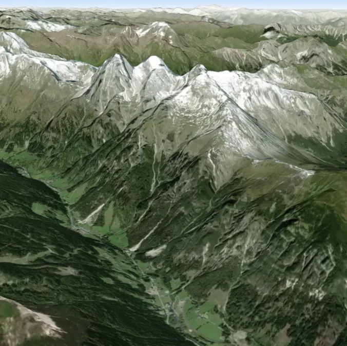
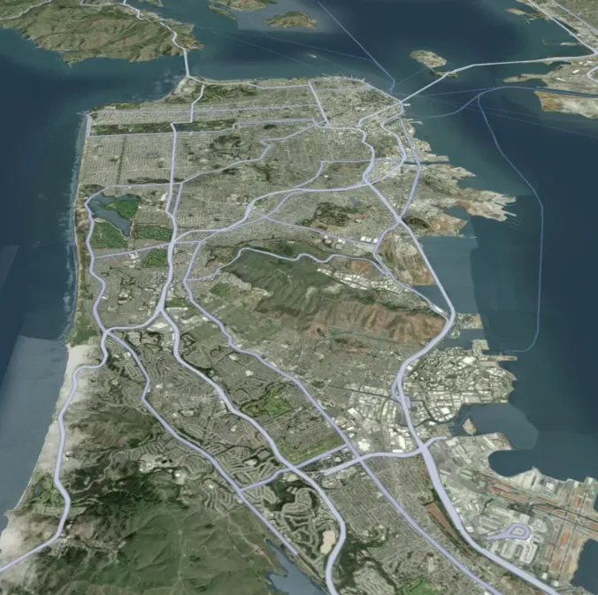
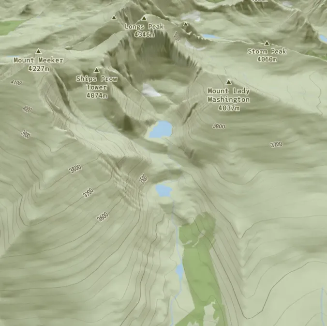
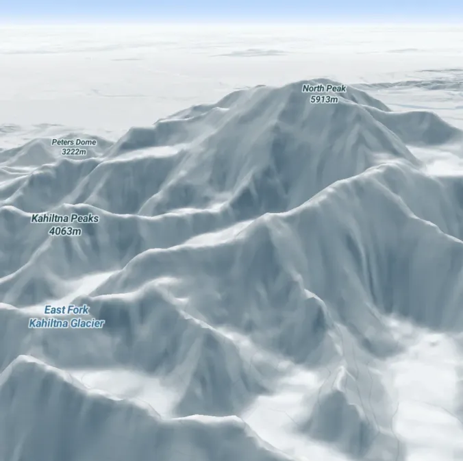
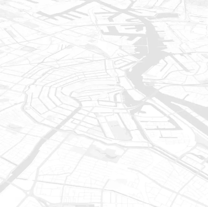
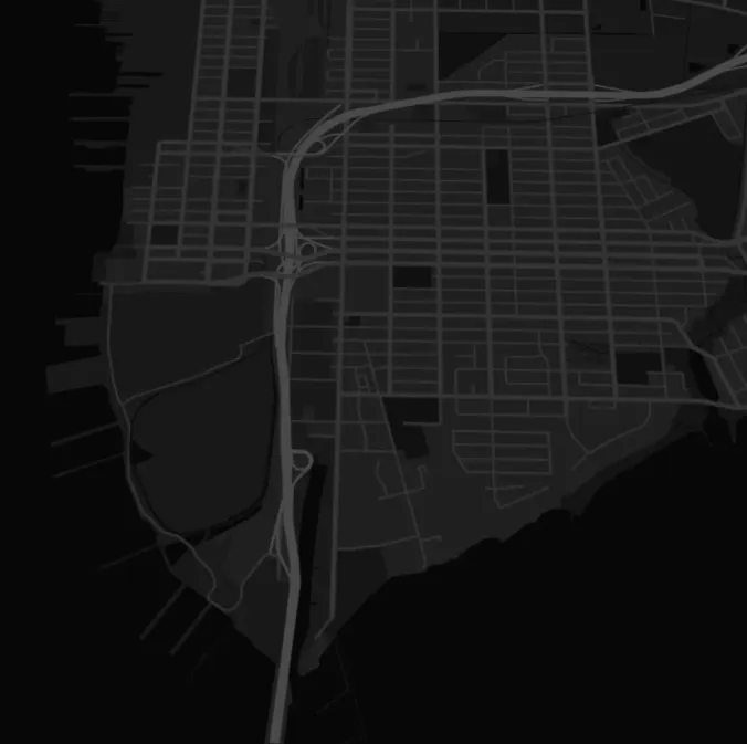
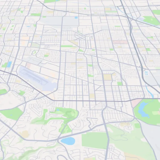
Each style opens with a fitting light preset — for example, Dark starts at night — which you can change under Lighting.
Lighting and time of day
You can set the lighting of the map to change the whole atmosphere — from soft early light to a city glowing after dark:
For an extra-cinematic touch, switch on animate over video and choose a From and Till preset. AvoMap steps through the presets in day order across your video — for example Day → Dusk → Night — crossfading each change, so the light shifts as the journey unfolds.
Labels and borders
Labels are the names and boundaries printed on the map. Each type toggles on or off independently, so you can keep the map clean or add detail — the tab shows how many are on (e.g. 3/5 enabled).
- Place labels — names of countries, cities, towns, and regions. When on, a density slider runs from Few (only major cities) to All (adds smaller towns).
- Road labels — street and highway names printed along the roads.
- Point of interest labels — places like shops, parks, restaurants, and stations. When on, a density slider runs from Sparse (fewer) to Dense (more).
- Transit labels — public-transport stops and station names.
- Country borders — outlines the international boundaries between countries. When on, you can pick the border colour and the border style: solid, dashed, or dotted.
Fewer labels keep the focus on your route; more labels help viewers know exactly where they are.
The place-label density also takes the camera into account. At the Few end you get the big cities from a distance and nothing else; as you move towards All, smaller towns join in, and villages only appear once the camera is close enough for them to be readable. A high setting on a wide shot won't bury the map in names.
Labels suit the designed styles
Labels and borders are drawn by the designed base styles (Classic, Light, Dark, Outdoors, Snow). Pure satellite imagery has little text of its own — switch to Satellite + streets or a designed style if you want names and roads on the map.
3D objects: buildings and landmarks
The designed styles can show 3D objects — buildings, trees, and landmarks — rising up as the camera flies past, from city skylines to famous towers. Switch them on for a lively, immersive city view, or off for a simpler, calmer scene.
3D terrain
Maps come with 3D terrain on by default, so mountains, hills, and valleys rise up realistically as the camera moves. You can turn it off for a flat, 2D map, or push it further with terrain exaggeration — keep it lower for a natural, true-to-life look, or go higher to make peaks and valleys taller and more dramatic. A touch of exaggeration can make a modest hill look like an epic climb.
Tips
- Satellite for nature, designed styles for clarity. Wild landscapes shine on satellite; city routes and data-rich maps read well on Classic, Light, or Dark.
- Golden hour is your friend. Dusk lighting makes almost any scene look cinematic.
- Trim the labels. If the map feels busy, turn off labels you don't need or lower their density so your route stands out.
- Match the mood. A dark base with a bright track feels modern; snow and outdoors suit the mountains.
- Lean into the terrain. With 3D terrain on, add an elevation profile for climbs, and finish with your own logo in the corner.
Frequently Asked Questions
What base map styles can I choose from?
Satellite (with or without streets) plus designed styles — Classic, Light, Dark, Outdoors, and Snow. Satellite gives real aerial imagery; the designed styles are cleaner and better for clarity or a particular mood.
Can I change the time of day on the map?
Yes. Set the lighting to dawn, day, dusk, or night, or animate it across the video — for example dawn easing into day — for a cinematic golden-hour effect.
Which labels can I turn on or off?
Place labels (countries, cities, towns), road labels, point-of-interest labels, transit labels, and country borders. Place and POI labels each have a density slider, and country borders have a colour you can set.
Can I change the colour of the country borders?
Yes. Turn on country borders, then set the colour and the line style — solid, dashed, or dotted — so the outlines match the rest of your video.
Can I show 3D buildings?
Yes. Switch on 3D objects for buildings, trees, and landmarks on the designed styles, or off for a simpler scene.
Where to go next
Was this page helpful?